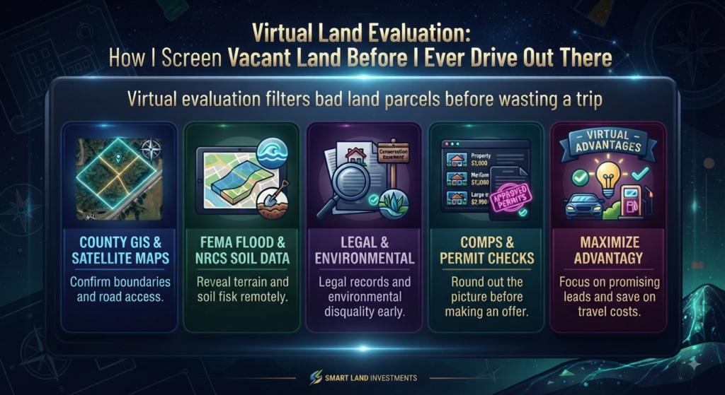
The first few pieces of land I looked at, I drove out to see in person before I knew anything about them — and looking back, that was backwards. Now I do a virtual land evaluation first, using nothing but county maps and a laptop, and only drive out once a parcel actually survives that process. It saves a lot of gas money on land that was never going to work anyway.
What a Virtual Land Evaluation Actually Does
A virtual land evaluation is basically a way to rule bad parcels out before you waste time driving anywhere. You’re checking access, zoning, terrain, utilities, and legal status using public data instead of your own two feet. It’s not a replacement for eventually seeing the land, but it’s a filter — a way to get a stack of ten listings down to two or three worth an actual trip.
Virtual Land Evaluation Step 1: Confirming Location and Boundaries
Before anything else, I pull up the parcel on the county GIS system and check it against satellite imagery to make sure the boundaries match what’s on record. This sounds basic, but listing photos can be misleading about where a lot’s actual lines fall, and county GIS is usually the most reliable free source for that.
Virtual Land Evaluation Step 2: Checking Access and Road Frontage
Using aerial imagery and county road maps, I look for whether the parcel actually touches a public road or depends on a deeded easement through someone else’s land. For anyone newer to this, sticking to parcels with clear road frontage just removes a whole category of headaches later.
Virtual Land Evaluation Step 3: Zoning and Permitted Uses
Most counties post zoning maps and minimum lot size requirements online now, so this step usually doesn’t require calling anyone. I check what the parcel is zoned for and what the building restrictions look like before I get attached to any plan for it.
Virtual Land Evaluation Step 4: Checking Utilities
I look for nearby power lines and whether there’s water infrastructure or septic feasibility indicated on county data. This step has limits — a map can show you utilities exist somewhere nearby, but it can’t tell you the actual connection cost, so I treat this as a first pass, not a final answer.
Virtual Land Evaluation Step 5: Terrain and Flood Risk
FEMA flood maps and topographic overlays show slope and drainage patterns before you ever set foot on the property. A steep grade or a flood zone sitting over the buildable part of a lot can quietly kill a project’s budget, and this is one of the easiest things to catch remotely.
Virtual Land Evaluation Step 6: Soil Conditions
NRCS soil survey data gives a rough sense of percolation potential, which matters for septic feasibility and foundation costs. It’s not a substitute for an actual perc test, but it tells you whether a parcel is even worth ordering one for.
Virtual Land Evaluation Step 7: Legal Rights and Title Basics
County records can surface liens, easements, and covenants that might restrict what a parcel is used for. I don’t treat this step as a legal opinion — it’s more about catching an obvious red flag before I get further invested in a deal.
Virtual Land Evaluation Step 8: Environmental Restrictions
Wetlands, protected habitat, or conservation easements can all limit what’s buildable on a lot, even when zoning technically allows more. These restrictions don’t always show up in a basic listing, which is exactly why they’re worth checking separately.
Virtual Land Evaluation Step 9: Market Value Through Comps
Recent nearby sales through MLS or public records give a rough sense of whether the asking price makes sense for the area, before any of the site-specific factors even come into play.
Virtual Land Evaluation Step 10: Local Permits and Approval
Building permits, septic permits, and whatever else the county requires are worth a quick look before assuming a plan will move smoothly once the land is under contract.
Red Flags in a Virtual Land Evaluation
A few things I’ve learned to treat as dealbreakers during a virtual land evaluation: no legal access or an unresolved access dispute, a floodplain sitting over the buildable area, steep grade or unstable soil on the building site, restrictive covenants or liens that conflict with the intended use, and utility connection costs that come back way higher than expected.
Tools for a Virtual Land Evaluation
County GIS and assessor websites for parcel maps and tax records, Google Maps or Google Earth for satellite imagery and rough distance checks, the FEMA Flood Map Service Center for flood risk, NRCS soil survey data, and MLS or public sale records for comps.
Before making an offer, according to the American Land Title Association, obtaining a preliminary title report early in the process is one of the standard ways buyers confirm ownership and catch existing liens before they become a problem. Confirming the parcel ID, getting utility connection estimates in writing, and running comps are worth doing before you ever put money down — and if you’re trying to figure out whether a specific parcel pencils out financially before you get that far, my land potential analyzer can help you sanity-check the numbers first.
Not financial advice — just someone doing a lot of research and asking a lot of questions.